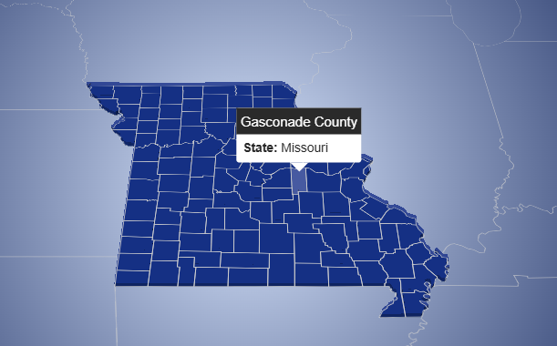
This interactive map visualizes administrative divisions of the United States, including all states and their respective counties. The application is
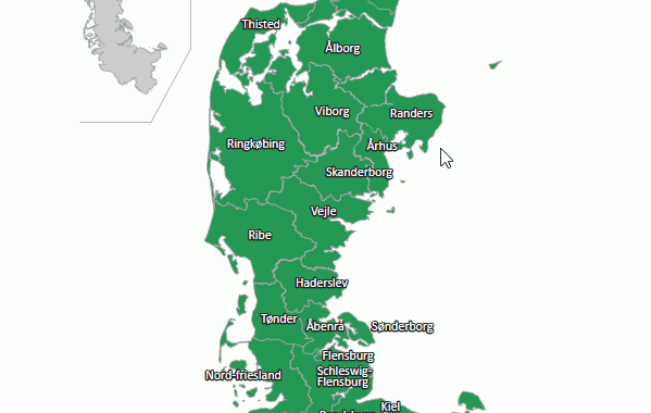
Interactive Map of Historical Administrative Units of Jutland (Denmark)
Technologies: Main Functionality: Map Content Description: This interactive map represents the historical administrative units of Jutland (Denmark). It includes names
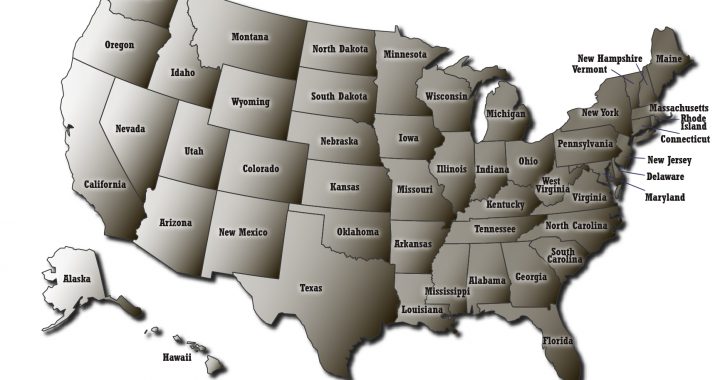
Interactive map of USA with links
Sample 1. Sample 2.
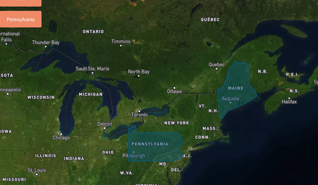
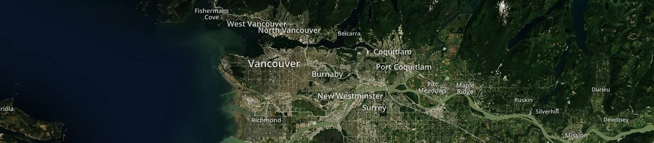
Show a map with fly to animated polygons created using MapBox
Description: Show a map with fly to animated polygons and labels created using MapBox GL JS Example 1. Please, click