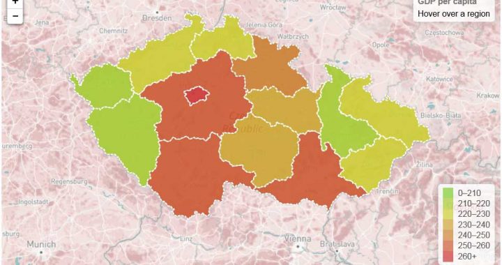
Description: Interactive Choropleth Map created using Leaflet.js. Demo 1: Output data: – .html, .css, .gejson, .js files Features: –
Interactive map in .SVG format
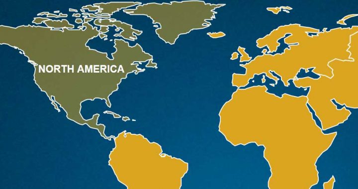
Description: Interactive map of continents in .SVG format with hyperlinks, animation, and text. After clicking on one of the continents