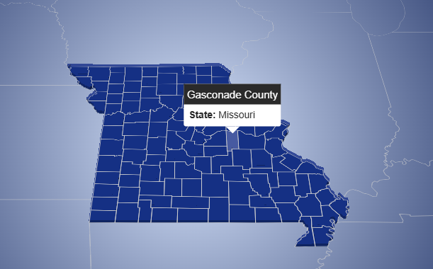
This interactive map visualizes administrative divisions of the United States, including all states and their respective counties. The application is
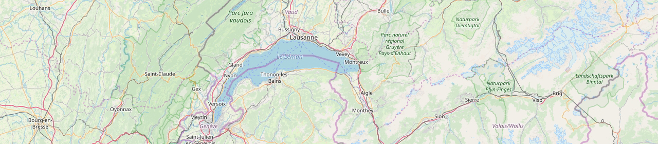
Circkles map using Power BI and MapBox
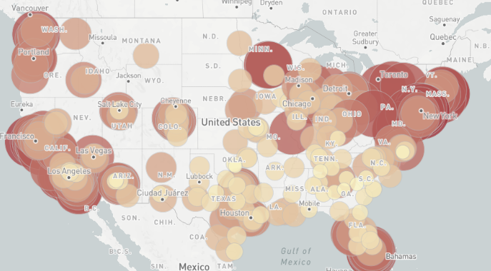
Show a map with fly to animated polygons created using MapBox
Description: Show a map with fly to animated polygons and labels created using MapBox GL JS Example 1. Please, click
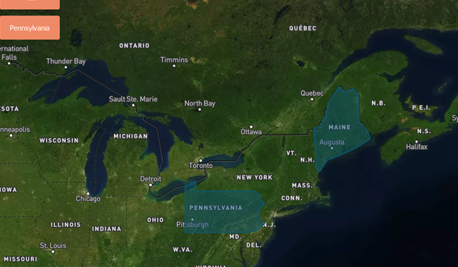
Interactive map created using Tableau
Description: Interactive map created using Tableau with base map of MapBox and custom filter. Demo 1: Demo 2: https://public.tableau.com/views/Book19_08/Sheet1?:embed=y&:display_count=yes