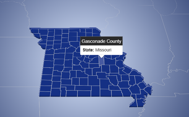
This interactive map visualizes administrative divisions of the United States, including all states and their respective counties. The application is
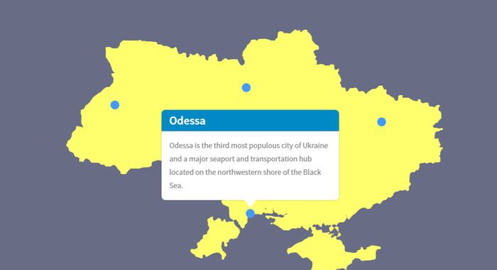
Animated map of Ukraine with popup
Sample 1. Animated map of Ukraine with popup
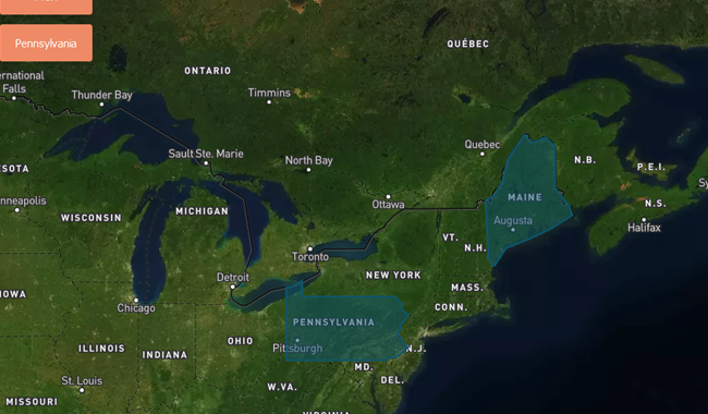
Show a map with fly to animated polygons created using MapBox
Description: Show a map with fly to animated polygons and labels created using MapBox GL JS Example 1. Please, click
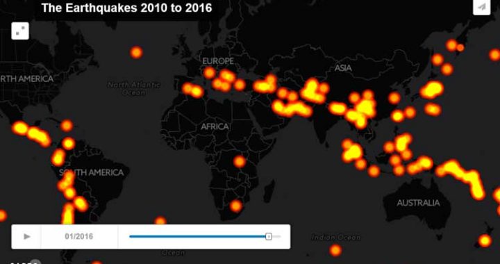
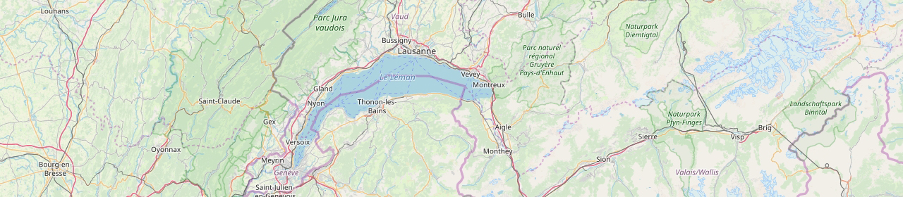
Animated map created using CartoDB with time slider
Description: An animated map created using CartoDB and Torque.js. Demo 1: