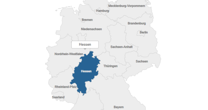
Technologies Used: Main Functionality:This project presents an interactive SVG map of Germany’s administrative regions (states). Each state is represented as
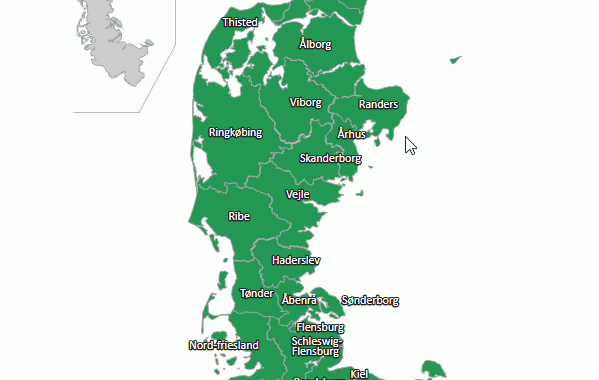
Interactive Map of Historical Administrative Units of Jutland (Denmark)
Technologies: Main Functionality: Map Content Description: This interactive map represents the historical administrative units of Jutland (Denmark). It includes names
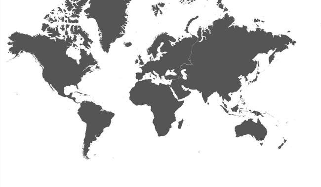
Clickable map of the World with hover effects
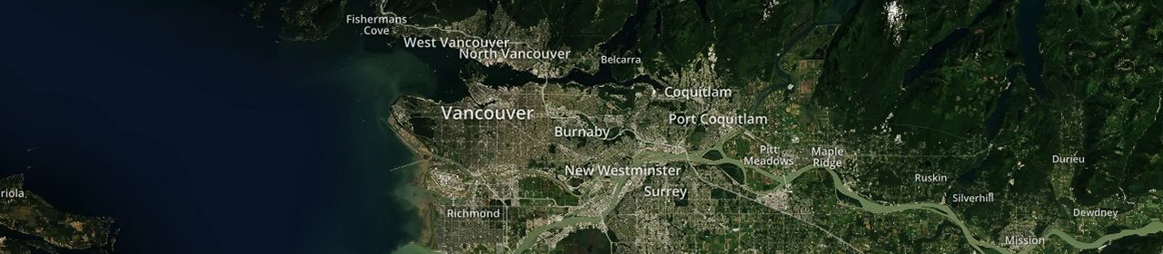
Sample1.
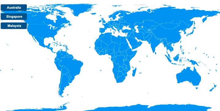
A svg map with buttons and animated labels
Demo 1: