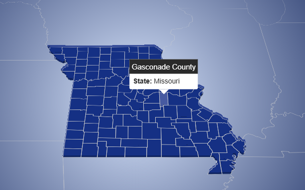
This interactive map visualizes administrative divisions of the United States, including all states and their respective counties. The application is
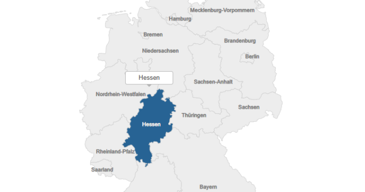
Interactive Map of Germany
Technologies Used: Main Functionality:This project presents an interactive SVG map of Germany’s administrative regions (states). Each state is represented as
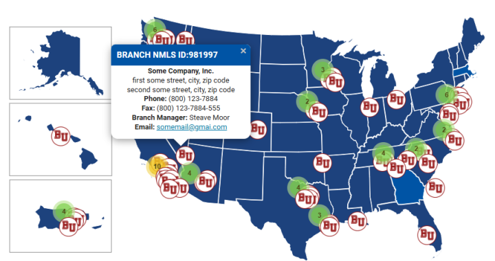
Interactive Map of Company Branch Managers
This project is an interactive web-based map that visualizes the geographic locations of branch managers for a U.S.-based company. The
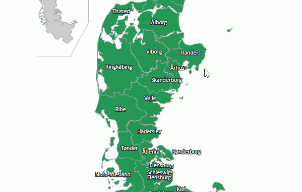
Interactive Map of Historical Administrative Units of Jutland (Denmark)
Technologies: Main Functionality: Map Content Description: This interactive map represents the historical administrative units of Jutland (Denmark). It includes names