 Web mapping – is interesting work and satisfaction of its results. I’ve been doing this the last 5 years.
In the last years (and so far) one can see a great interest in web-mapping and its capabilities, as well as a significant increase in the number of services in one form or another using web mapping technology. The most important trends observed in recent years is the emergence of a large number of free projects implementing the concept of pre-processed data, personalization services increase opportunities, ability to integrate their data with existing services, global services, increasing integration of these services into everyday life.
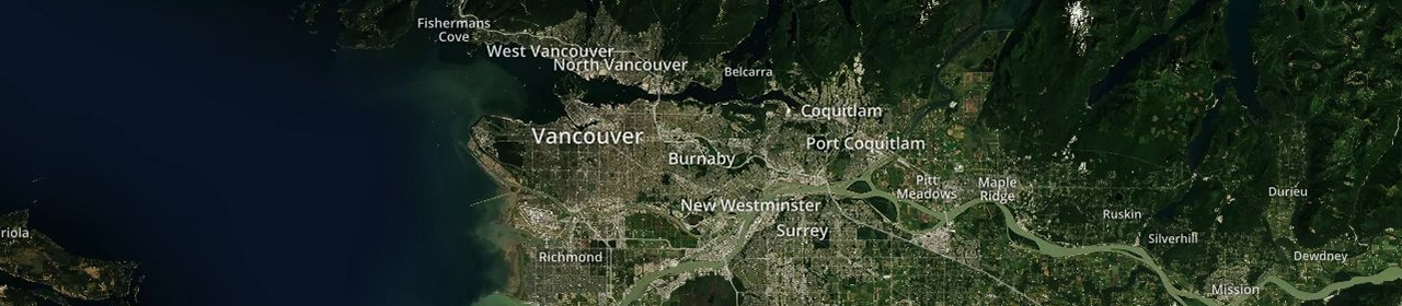
I have experience in web cartography, GIS, and graphic design. I like most to create Interactive maps and GIS visualizations, Animated mapping, Geospatial analysis, Web mapping, SVG map, Animated mapping,Interactive maps in Excel, Zip code map, Processing and Vectorization Ortho & Raster image.
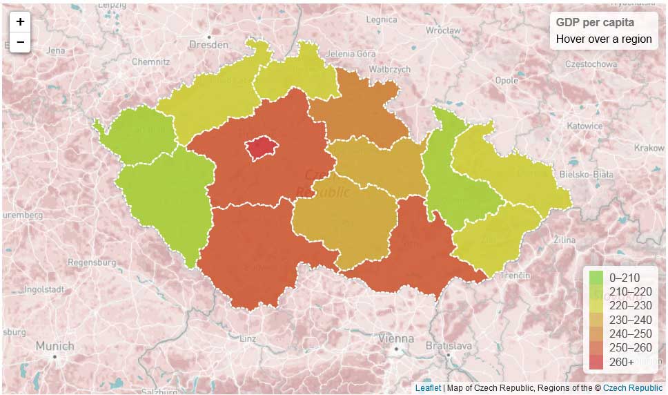
I have a high level of knowledge of geographic information systems as ArcGIS, QGis, MapInfo, MapBox, Leaflet.js, CartoDB and other.
I work well with graphic design tools: Adobe Photoshop, CorelDRAW, Adobe Illustrator, Adobe After Effects and other.