Description:
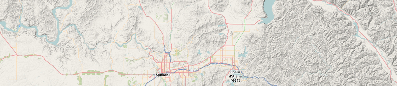
Interactive map created using CartoDB.
Demo 1:
Demo 2:
Demo 3:
Output data:
– excel tables, google spreadsheets;
– .kml, .kmz, .shp, .svg files.
Features:
– cluster map, choropleth map, zoom control, laers control,
– style map of MapBox
Tools:
– CartoDB
– MapBox
Where to use:
– Interactive maps on your web page
Error: Contact form not found.