Interactive map with custom icons using Tableau
Interactive map with custom icons using Tableau Read More »
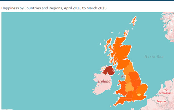
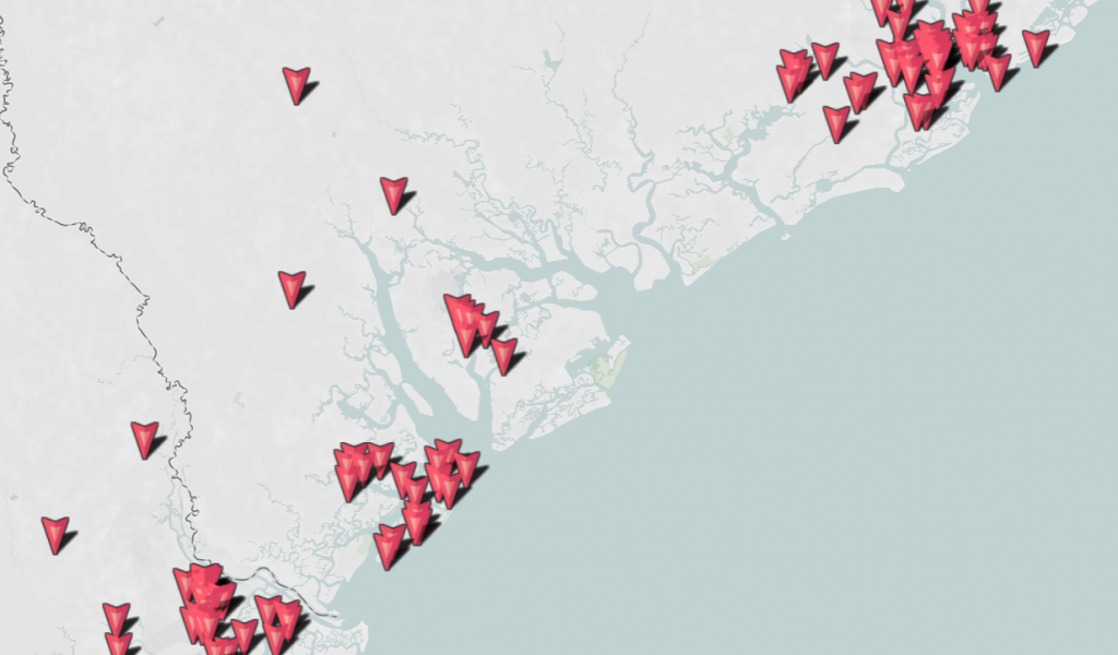
Description: Interactive map created using Tableau with base map of MapBox and custom filter. Demo 1: Demo 2: https://public.tableau.com/views/Book19_08/Sheet1?:embed=y&:display_count=yes Output data: – excel tables, google spreadsheets; – .csv, .txt, .shp, files. Features: – interactive map, custom filter, legend – style map of MapBox Tools: – Tableau – MapBox Where to use: – Interactive maps
Interactive map created using Tableau Read More »