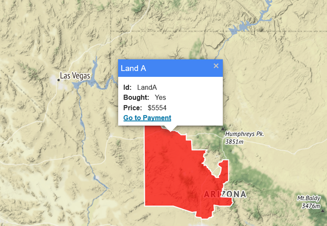
Interactive map with polygons, hover effect and popups created using Leaflet JS
Sample 1:
Interactive map with polygons, hover effect and popups created using Leaflet JS Read More »
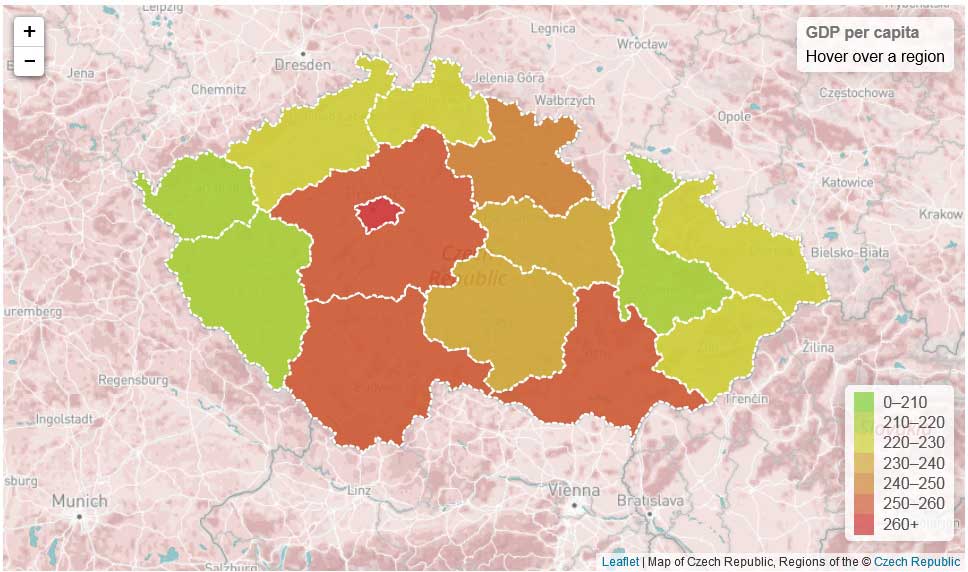
Description: Interactive Choropleth Map created using Leaflet.js. Demo 1: Output data: – .html, .css, .gejson, .js files Features: – Choropleth Map – Custom style of the base layer MapBox Tools: – Leaflet.js – MapBox Studio – QGIS Where to use: – Interactive maps on your web page [contact-form-7 id=”1059″ title=”Order”]
Interactive Choropleth Map created using Leaflet.js Read More »