Interactive Map of Germany
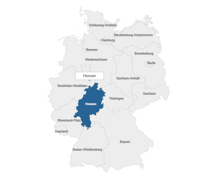
Technologies Used: Main Functionality:This project presents an interactive SVG map of Germany’s administrative regions (states). Each state is represented as an SVG <path> element, styled with custom CSS. The map supports several interactive features: Map Content:The map depicts the federal states of Germany (“Bundesländer”). For example, the region of Hamburg is included as an SVG […]
Interactive Map of Germany Read More »