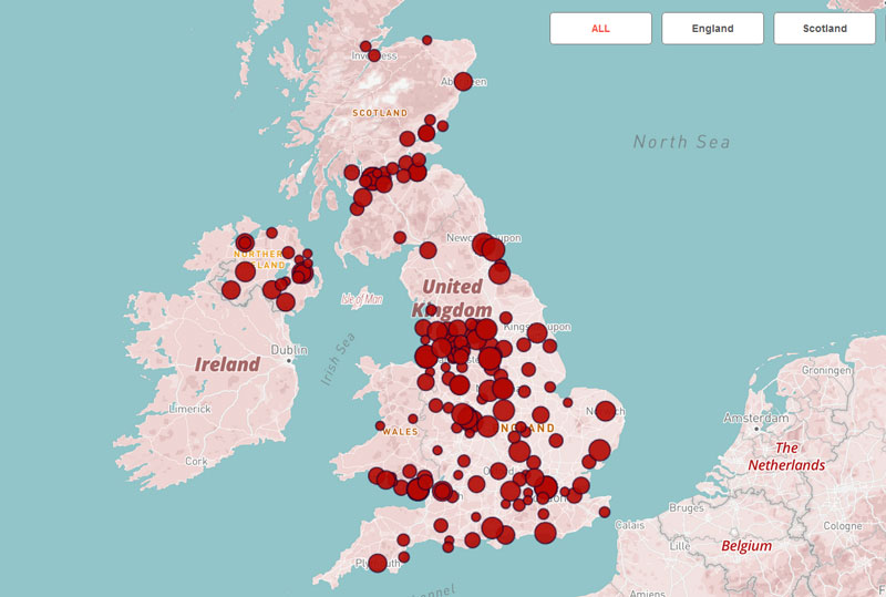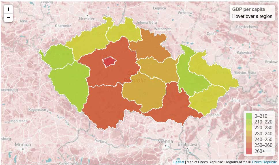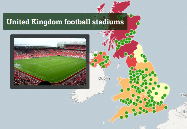
Interactive map created using CartoDB
Description: Interactive map created using CartoDB. Demo 1: Demo 2: Demo 3: Output data: – excel tables, google spreadsheets; – .kml, .kmz, .shp, .svg files. Features: – cluster map, choropleth map, zoom control, laers control, – style map of MapBox Tools: – CartoDB – MapBox Where to use: – Interactive maps on your web page […]
Interactive map created using CartoDB Read More »